Geoscience Education and Inclusion
CORES TO CODE
About
Program Overview

Cores to Code (C2C) is a 3-week summer learning experience for undergraduates interested in or pursuing studies in earthquake and tsunami science and/or related geosciences. Based at Cal Poly Humboldt, the program is led by members of CRESCENT’s Cascadia Paleoseismology (CPAL) Working Group and introduces students to the interdisciplinary methods geoscientists use to explore the earthquake history of the Cascadia subduction zone.
Through fieldwork, laboratory activities, and computational modeling, students gain practical experience and learn how geoscientists use data to better understand Cascadia’s earthquake hazards.
Highlights
💸 Get Paid to Learn: Dive into a paid summer program with a stipend of $2000, funded travel to and from Cal Poly Humboldt, and funds for field equipment– because your passion should pay off!
🏡 Home Sweet Housing: Enjoy free meals and shared housing during the program. Students will be staying in shared dorms at Cal Poly Humboldt in Arcata, California
 Course Credit: Students who want course credit for C2C are encouraged to apply through their home institution and the C2C instructors will supply a pass/fail for the home institution.
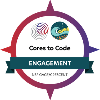
Highlight Your Skills with a Digital Badge: Earn a credential through Credly issued by EarthScope Consortium that verifies your achievements. The badge showcases the knowledge and skills you’ve gained and can be shared online, added to resumes, or displayed on professional and social media profiles to support your career growth.
2025 Program Highlights
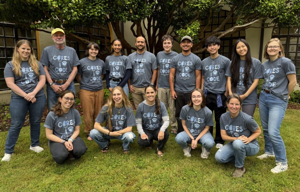
2025 C2C Story
Hands-On Learning Experiences
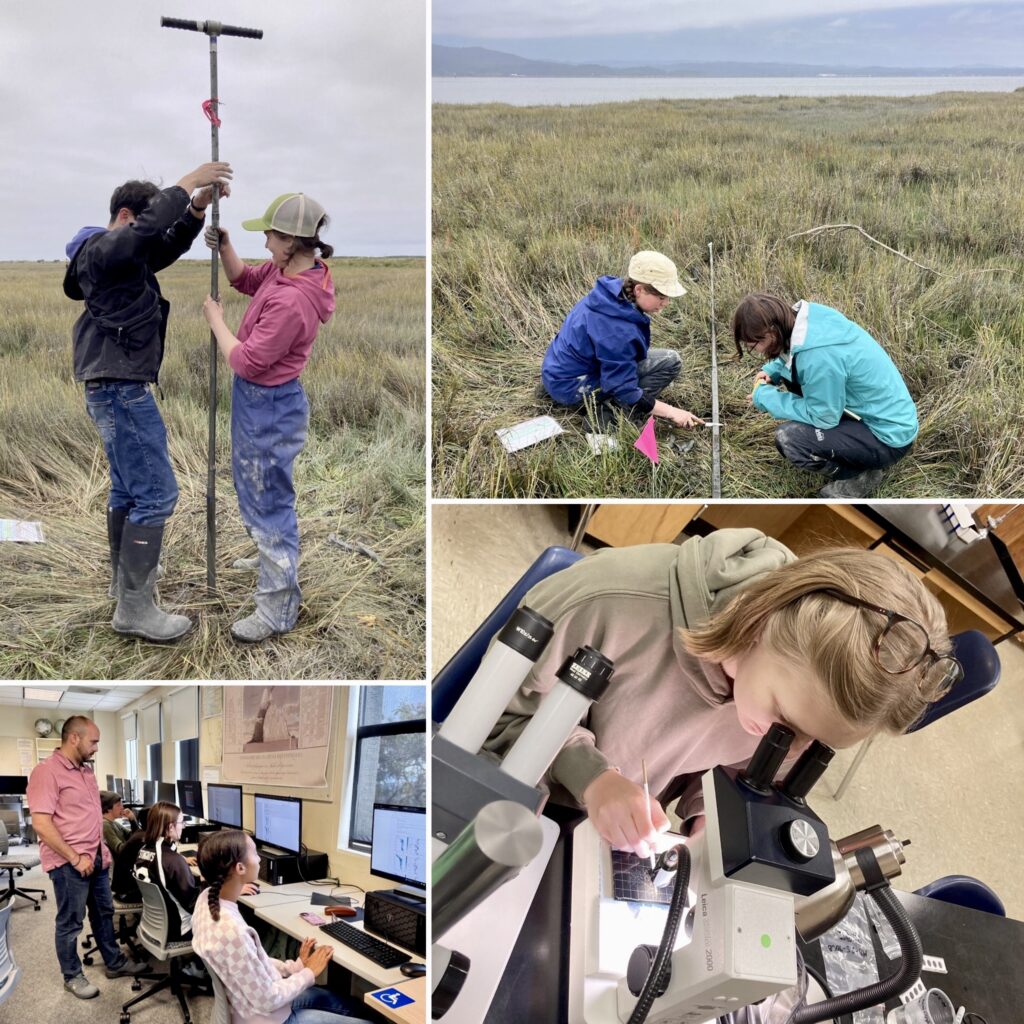
Hands-on learning at Cores to Code. (Top left) Students collect sediment cores in Humboldt Bay, California, to investigate buried soils that provide evidence of subsidence during past earthquakes. (Top right) Students describe and sample the cores. (Bottom right) Students identify microfossils, including foraminifera and diatoms, to help estimate past vertical land-level changes. (Bottom left) Students learn basic Python programming and explore how field and laboratory data inform earthquake rupture models.
Field Experience
Explore coastal environments to learn how geoscientists investigate past land-level changes and tsunami inundation. Visit coastal sites at Humboldt Bay, CA to conduct stratigraphic studies, map evidence of past land-level changes, collect sediment cores from coastal marshes, and describe and sample cores. Practice geological mapping, elevation surveys, and sampling modern environments to understand evidence of past earthquakes, including the 1700 Cascadia earthquake.
Laboratory Experience
Analyze sediment cores to investigate past earthquakes and estimate vertical land-level changes. Correlate core stratigraphy along sampling transects, subsample sediments, and use microscopes to identify microfossils, including foraminifera and diatoms, that indicate different elevations and environments, such as tidal marshes and tidal mudflats.
Computational Experience
Learn basic Python programming and scientific data analysis to explore which earthquake rupture models best match the geological evidence from Cascadia. Practice loading, cleaning, visualizing, and statistically analyzing data, and discover how the type of data you collected in field and lab are used in earthquake rupture models to analyze surface deformation and investigate earthquake hazards.
Learn the Research Process
Gain hands-on experience with the research process, from collecting geological data and analyzing samples and datasets to interpreting results and communicating key takeaways. Synthesize what you learned in a final presentation to peers and instructors, exploring how geoscientists investigate past earthquakes.
Professional Development
Build skills that support success in geoscience and other scientific fields.
- Build transferable skills. Develop teamwork, time management, problem-solving, and collaboration skills through hands-on group activities.
- Communicate science effectively. Practice explaining scientific concepts to different audiences and connecting geoscience research to real-world questions.
- Explore your next steps. Build confidence with fieldwork, laboratory methods, and coding while learning about potential paths in geoscience.
- Connect science with communities. Interact with local stakeholders and emergency managers to learn how earthquake science informs community preparedness and hazard planning.
Program Outline
Program dates are finalized, but the daily agenda and activities are subject to change.
June 6: Arrival. Students arrive in Arcata, CA and check-in to the dorms at Cal Poly Humboldt.
June 7: Introductory Field Trip. Field trip to learn about the local geology.
June 8: Orientation. Students will be trained in map reading, strategies for site selection, note taking, sediment and core descriptions, surveying, and field work safety.
June 9: Orientation. Orientation continues in the morning and a short field day in the afternoon to introduce students to hands-on field work.
June 10-12: Field Exercise. Students will visit a coastal site to conduct a stratigraphic study that will identify and map past land-level changes. Students will take and describe sediment cores, and conduct elevation surveys.
June 13: DAY OFF.
June 14: Stratigraphy Overview and Activity. Students will process field samples (photograph and archive cores) and then review and correlate sediment core stratigraphy across sampling transects to identify evidence of past land-level changes.
June 15-18: Laboratory Exercise. Students will be introduced to quantitative laboratory techniques in subduction zone science. Using microscopes, they will identify microfossils, including foraminifera and diatoms, that indicate past environments and help estimate vertical land-level changes associated with earthquakes.
June 19: DAY OFF.
June 20-23: Computer Exercise. Students will be introduced to coding, python, and crustal deformation modeling techniques in subduction zone science.
June 24: Final Presentation Work Time. Students will have dedicated time to work on their final presentations.
June 25: Final Presentations & Wrap-Up. Students will present their final projects to their peers and instructors.
June 26: Students fly back home.
Information for
Students
Eligibility
At the time of applications, you must:
- be a citizen or permanent resident of the United States or its possessions.
- be at least 18 years old by the start of the program (June 6, 2027).
- be enrolled and currently attending classes through the current academic year (through spring 2027).
- be a rising junior or rising senior in college at the start of the program.
- are currently an Earth science/geology/geoscience or related major.
No prior field, lab, or computer experience is required!
However, there will be 3-4 days in the field (~8 hours per day). Students must be able to walk on uneven ground for ~1km carrying their backpack.
For questions contact GEI Program Manager Shannon Fasola (sfasola@uoregon.edu).
The application period closes February 15, 2027 at 11:59 pm Pacific Daylight Time. Please submit your application by then to ensure your consideration for the program.
Frequently Asked Questions
Meet The Team
Instructors & Planning Committee
Cores to Code is led by members of CRESCENT’s Cascadia Paleoseismology (CPAL) Working Group, who will teach the field and laboratory portions of the program, and CRESCENT Director and geophysicist Diego Melgar, who will teach the computational modeling portion.

Tina Dura
CPAL Lead
Virginia Tech
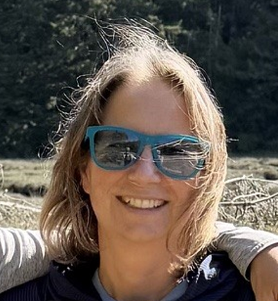
Andrea Hawkes
CPAL Member
University of North Carolina Wilmington

Harvey Kelsey
CPAL Member
Cal Poly Humboldt
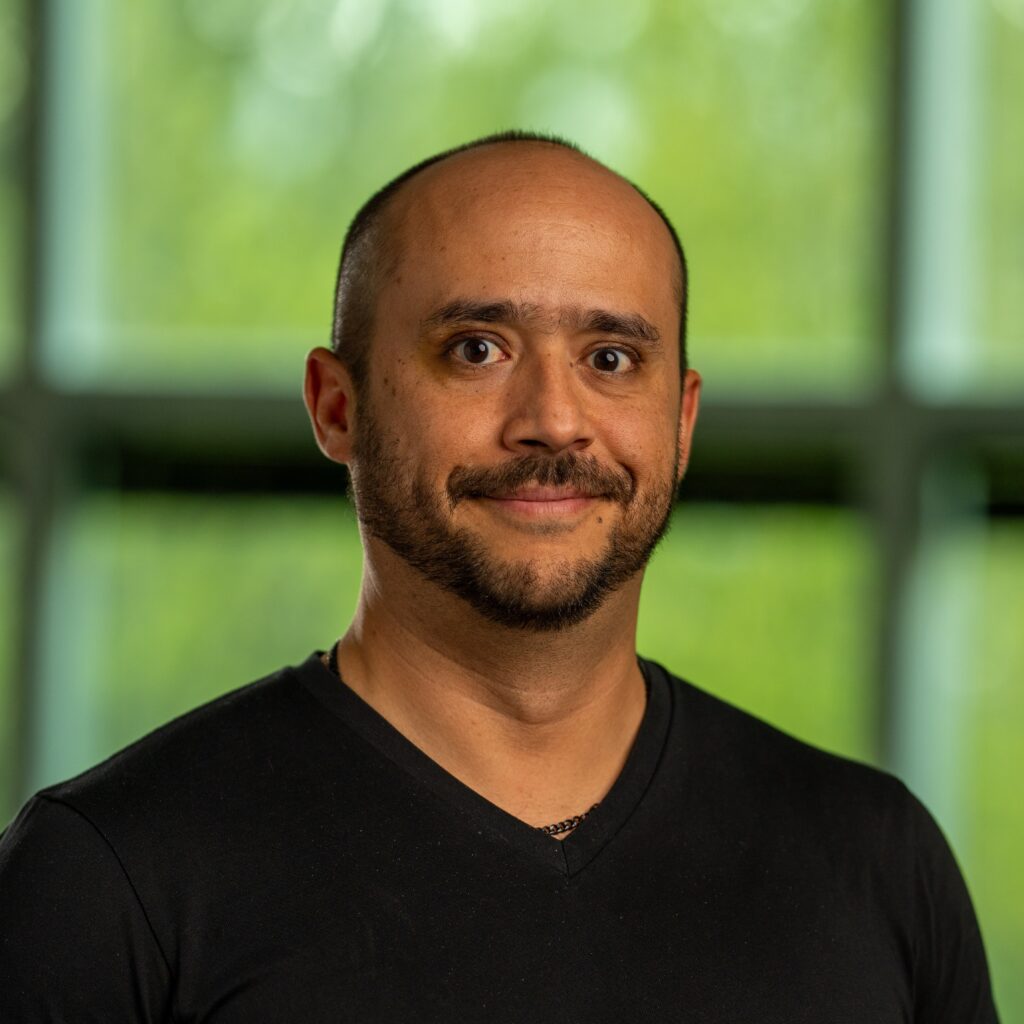
Diego Melgar
CRESCENT Director
University of Oregon
Mira Anderberg
CPAL Graduate Student
University of North Carolina Wilmington