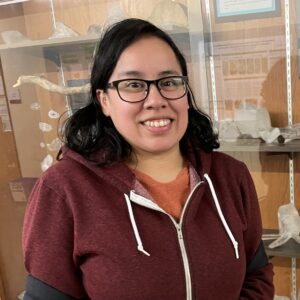
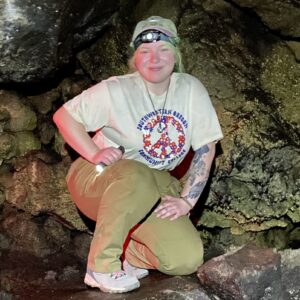
2024-2025 Twinning Student Participants
GEI Twinning Program
The Undergraduate Twinning Program launched in April this year and the first cohort of students started in September. We received six mentor applications and advertised all six projects during the student recruitment stage. There are four projects at minority serving institutions and one at a community college. We received 35 student applications and selected one student for each project.
Baylor Goroski
Fort Lewis College
The tectonic significance of exhumed blueschist in the Hellenic subduction zone, Crete, Greece
Baylor Goroski, Fort Lewis College
Mentors:
Eirini Poulaki, Louisiana State University
Carolyn Tewksbury-Christle, Fort Lewis College
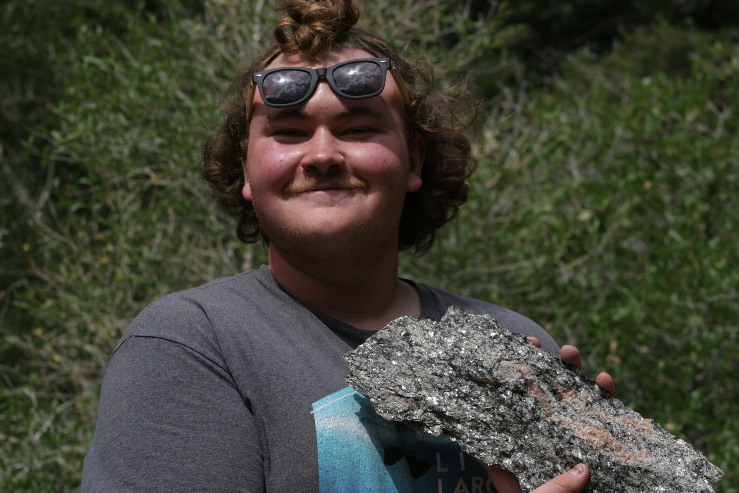
Student Bio:
Baylor is currently in the third year of his undergraduate studies in Geology at Fort Lewis College. He chose to pursue geology because of an introductory natural hazard course, but quickly he began to see just how much geology rocks! His interests include igneous and metamorphic petrology, mineralogy, crystallography, and structural geology. He enjoys skiing, hiking, learning new things, and spending quality time with his loved ones.
Project Summary:
The island of Crete in Greece is primarily composed of low grade metasedimentary rocks that subducted to ~20-40 km depth during the Oligocene and were brought back to the surface in the Miocene. Amongst these low grade rocks, blueschist and greenschist-facies rocks occur sporadically. These rarely exposed higher grade rocks are an enigma, and this research aims to answer the question: how were these higher grade rocks incorporated into the subduction interface and then exhumed in contact with rocks that don’t preserve these assemblages anymore and/or are lower grade?
To answer this question, we draw on multiple geoscience disciplines, including structural geology, petrology, geochemistry, and geochronology. We are specifically working on mapping phases of deformation in these higher grade rocks using mineralogic assemblages, geochemical modeling, and microstructures, which together can determine the sequence of events. With these data and cutting-edge geochronology techniques, we can also put an age on different deformation phases, helping to better relate these higher grade and lower grade rocks. We will develop an explanation for why the blueschists commonly outcrop along a major tectonic contact and why these high pressure assemblages were well preserved during exhumation. Better understanding of how these rocks made it back to the surface can improve our understanding of on-going processes in modern subduction zones.
Daisy Briseno
Portland State University
Active Fault Studies in Northern Oregon
Daisy Briseno, Portland State University
Mentors:
Ashley Streig, Portland State University
Scott Bennett, U.S. Geological Survey
Student Bio:
Daisy is a geology major and is working to continue her studies in geoscience research. She is passionate about education and seismology, her goal is to inform others about the dynamic Earth processes. Her interests outside of school include hiking, coffee, and finding the best vegetarian/vegan food.
Project Summary:
Historically, few damaging earthquakes have occurred in the Pacific Northwest (PNW) region of the United States, although the region overlies the seismically active Cascadia Subduction Zone. Earthquake resilience efforts here have largely focused on the offshore Cascadia Subduction Zone and its potential for M 9 earthquakes. However, damaging earthquakes on onshore faults, such as the Portland Hills fault and Seattle fault, are also a poorly understood threat to the region. Many active faults have been previously identified onshore in Oregon, but new laser terrain imagery (lidar) has revealed several previously unknown active faults distributed across the landscape.
At the latitudes of the central PNW, the Cascade volcanic arc is defined by a lower relief ancestral Miocene arc in the western foothills of the Cascade Range and the high Cascades arc along the crest of the range. Studies have found clockwise rotation of 1°/My for the last 16 My in western Oregon and that the westward escape of the forearc and western Cascades (Oregon Coast block) creates new crust on the trailing edge of the rotating block. Numerous N-S trending faults are visible in lidar through both the high and ancestral Cascade arc and preliminary paleoseismic and geologic mapping of these faults report evidence for late Quaternary and Holocene surface-rupturing earthquakes. These active faults are likely relieving the Cascade intra-arc extension, which accommodates regional patterns of clockwise rotation. However, dozens of newly discovered fault strands remain unstudied. This research seeks to characterize these unstudied extensional faults in the high Central Cascades through a combination of paleoseismology, tectonic geomorphology, and geologic mapping.
Libby Tonn
University of Oregon
A 175-year record of vertical land motion in the Coos Bay, Oregon area from repeated leveling and tide gauge records, to characterize Cascadia strain and sea level rise
Libby Tonn, University of Oregon
Mentors:
Win McLaughlin, Southwestern Oregon Community College
Ray Weldon, University of Oregon
Student Bio:
Libby, (she/they), is a third-year Geology student at the University of Oregon and is interested in studying coastal processes, hazard management, and historical geology. She hopes to help make science more accessible and relatable to the general public through her research with the GEI Twinning Program. Outside of school, Libby enjoys sewing, making art, photography, and exploring the outdoors.
Project Summary:
One of the key issues in Cascadia earthquake hazards is the rate and spatial distribution of strain accumulating on the subduction zone interface. The most critical component of this strain is vertical movement which can be determined from tide gauges, repeated leveling between stable benchmarks, GPS and InSAR. Because high precise GPS sites are too sparse and GPS and InSAR records too short, only a combination of sea level changes from long-term tide gauge and connected leveling records of tilt between benchmarks provide adequate spatial and temporal resolution to usefully constrain the subduction interface. The Coos Bay area on the central Oregon coast provides a unique setting to assemble and analyze this data because it has the oldest tide gauge in Oregon (at Empire from 1850-1870), a currently operating NOAA tide gauge (at Charleston since 1970) and numerous historical temporary gauges at North Bend and Coos Bay. There are numerous high-order leveling surveys along both NS and EW roads and railroad lines that connect the tide gauges and span the critical area above the base of the locked portion of the subduction zone where the strain gradient is greatest.
This project will assemble the historic records of water levels, leveling connecting tide gauges to benchmarks (BMs), other leveling connecting benchmarks from NOAA, NGS and commercial surveying efforts and analysis of this data to determine a network of points with the velocity of vertical motion and uncertainties. Because BMs have finite lifetimes and tidal, highway, railroad and commercial BMs are often not connected, so overlapping surveys must be found or carried out to connect all the data so such long-term records are rarely assembled. In addition, tide gauge records from different sites within the broader Coos/Charleston Bay area respond differently to tides, seasons, El Nino and other cycles, so short records need to be normalized to compare long-term trends. In addition to characterizing subduction zone strain this project will document the spatial distribution of vertical land movement so that relative sea level change associated with global sea level rise can be determined for coastal planning.
Lindsay Gross
San Jose State University
Numerical models of Cascadia earthquake scenarios constrained by energy budget analyses
Lindsay Gross, San Jose State University
Mentors:
Betsy Madden, San Jose State University
Amanda Thomas, University of Oregon
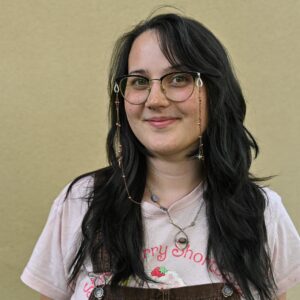
Student Bio:
Lindsay is currently a junior at San Jose State University studying Applied Mathematics. She wishes to continue her education in mathematical modeling in the sciences post-grad. In her free time she enjoys hiking, working out, reading, and hanging with her friends.
Project Summary:
Megathrust earthquakes pose a significant threat to lives and livelihoods in the Pacific Northwest of the United States. In this project, physics-based, high performance computing (HPC) models of potential Cascadia dynamic rupture scenarios will be generated to fill this data gap. In addition, we will analyze the energy budget of megathrust earthquakes. Calculating the energy budget components of the modeled Cascadia scenarios and comparing these results with energy budget components from both observations and HPC models of the 2004 Sumatra megathrust earthquake provides a way to better constrain models of earthquake behavior across subduction zones and highlight potential seismic behavior at Cascadia.
Itzel Noriega
University of Texas El Paso
Dynamic triggering in volcanic systems in the Pacific Northwest
Itzel Noriega, University of Texas El Paso
Mentors:
Aaron Velasco, University of Texas El Paso
Diego Melgar, University of Oregon
Student Bio:
A geology major at the University of Texas at El Paso with a deep passion for fieldwork and full of adventure this desert girl born and raised in El Paso, Texas is thrilled to start their research journey with the CRESENT program. Dedicated to making a difference, Itzel is committed to community involvement and aims to inspire others to explore the wonders of STEM. Balancing academic ambition with a love for nature, Itzel is on a mission to drive positive change and create a lasting impact in both their community and the world.
Project Summary:
Understanding the dynamics and deformation of the Cascadia subduction zone remains a key science driver for CRESCENT, and although the center does not necessarily focus on Cascadia volcanic systems, high-quality seismic data exist for several volcanoes above the subduction zone. The seismic network coverage allows for the location and monitoring of earthquakes and for investigation of the possible role of dynamic stresses (seismic waves from distant, large earthquakes) in changing the stress state of these volcanic systems. It has been observed that Alaska volcanoes are not susceptible to dynamic stresses, yet little has been documented for the Cascadia volcanic systems. This project will investigate dynamic triggering, processing both catalog and waveform data from the PNSN. Expected results will include whether dynamic stress impacts these volcanic systems, and how sensitive these systems are to tectonic earthquakes.
Samantha Koller
Pikes Peak State College
Examining Slab-driven Mantle Flow in the Cascadia Subduction Zone
Samantha Koller, Pikes Peak State College
Mentors:
Margarete Jadamec, University of Buffalo
Maureen Long, Yale University
Student Bio:
Samantha is a geology student at Pikes Peak State College. Samantha is a first-generation college student hoping to pursue a career in research. Her goal is to one day study volcanoes. When she’s not busy studying or working, you can usually find Samantha crocheting a sweater or reading one of her favorite fantasy novels.
Project Summary:
Seismic observations that image the Earth’s interior indicate that subduction zones are discontinuous, and, as such, each slab contains some form of lateral slab edge at each terminus. However, how slab-edges drive dynamic flow in the asthenosphere in subduction systems with natural complexity is still not well understood. The student will focus on examining seismic data from Cascadia in the context of three-dimensional geodynamic models of the subduction zone that incorporate the natural geometric complexity of the slab and upper plate. In particular, the student will examine shear wave splitting observations from the Cascadia system to constrain three-dimensional flow dynamics around the Cascadia slab edges predicted by the geodynamic modeling. This project is part of a larger initiative by PI Jadamec examining subduction dynamics and mantle flow along the Pacific Ring of Fire. Results from this project will shed light on slab-driven mantle flow dynamics in natural systems with implications for anomalous volcanism in the Pacific Ring of Fire. The project is also synergistic with an ongoing collaborative effort involving PI Long to combine insights from rock deformation, geodynamical modeling, and seismological observations to improve our understanding of subduction zone anisotropy.